Glaciers 3.6 Times the Size of Seoul Disappear in Xinjiang as Climate Risks Surge
Key Points
- A comprehensive scientific expedition revealed that Xinjiang lost 2,167 square kilometers of glaciers over 30 years as local temperatures rose at 1.7 times the global average.
- The report grabbed attention in Korean media by contextualizing the massive environmental loss as equivalent to 3.6 times the entire land area of Seoul.
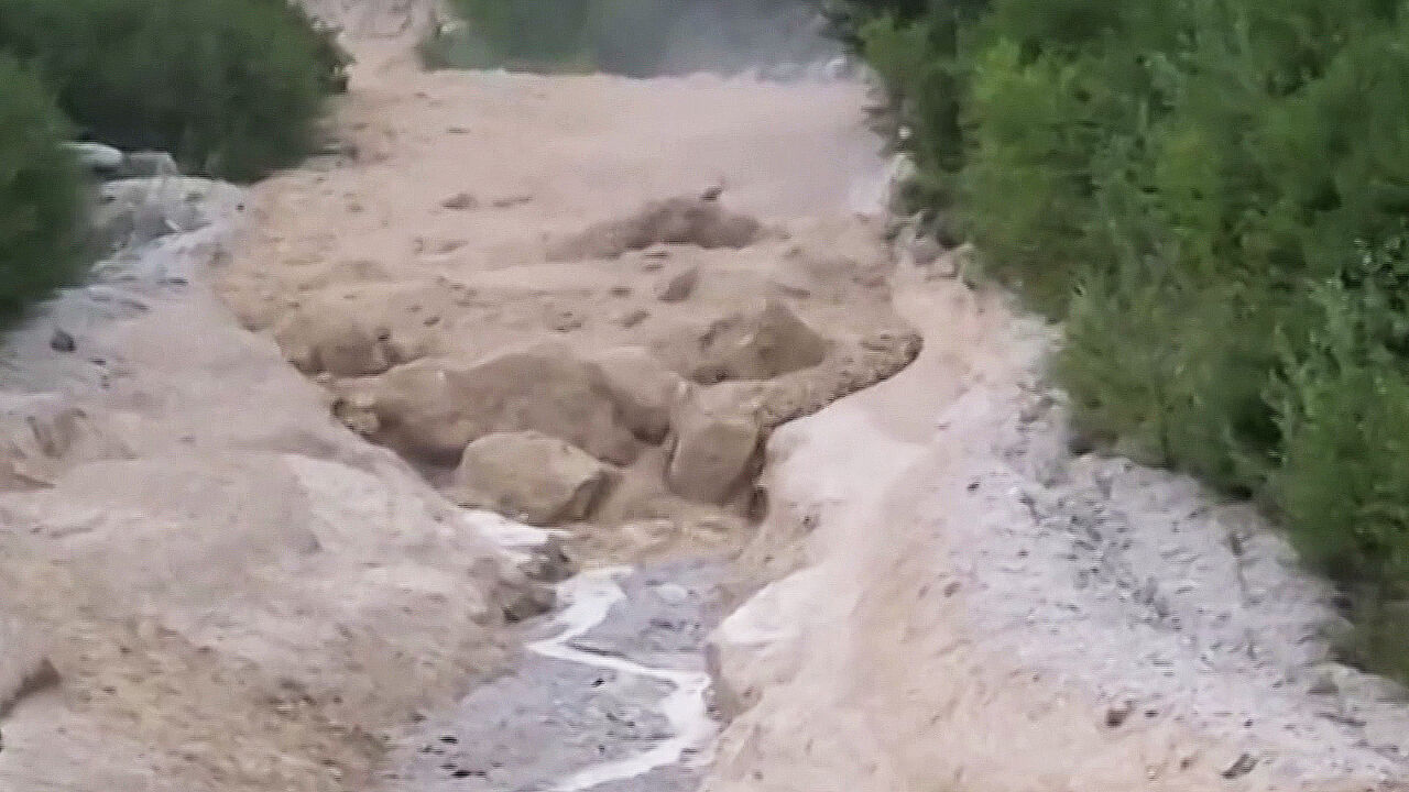
- Researchers warned that rapid thawing severely destabilizes mountain geology, triggering dangerous debris flows ('toseokryu') and lethal flash floods across high-altitude Asian frontiers.
Summary A massive scientific survey in northwestern China has revealed that over the past three decades, Xinjiang has lost a staggering 2,167 square kilometers of glacier area—equivalent to roughly 3.6 times the size of Seoul.
In Korean media and public discourse, using the geographic area of Seoul (approximately 605 square kilometers) as an intuitive benchmark is a standard journalistic convention. Because South Korea's capital is a dense, familiar reference point for Korean readers, domestic reports routinely calculate environmental shifts and disaster impacts in multiples of "Seoul's area" to convey scale. In this case, comparing Xinjiang's melting ice sheets to nearly four capital cities immediately highlighted the sheer magnitude of climate acceleration to readers across East Asia.
According to findings released by Xinjiang's Comprehensive Scientific Expedition Team in Urumqi, Xinjiang hosts China’s highest concentration of glaciers, totaling 24,202 glaciers spanning roughly 23,629 square kilometers as of 2020. However, regional temperatures have risen at a rate of 0.34°C per decade over the last 30 years—approximately 1.7 times the global average and 1.13 times China's national average.
Scientists warned that rapid glacier loss does not just disrupt ecosystems; it drastically increases the threat of severe natural disasters. Melting ice has already expanded local lakes and wetlands by approximately one-third, destabilizing glacial structures. This instability triggers dangerous secondary hazards, notably glacial collapses, flash flooding, and massive debris flows (known in Sino-Korean terminology as 'toseokryu' or 土石流—a destructive torrent of mud, rocks, and water).
The findings follow a series of cross-border environmental crises in the greater region, including a devastating August 2026 glacial and rock collapse along the Nepal-Tibet border that unleashed catastrophic debris flows and floods, leaving thousands dead or missing. China's Ministry of Science and Technology, alongside 46 research institutions and Central Asian partner nations, is currently utilizing satellites and drones to track ice movement and mitigate impending climate-induced disasters.
Sponsored · Ad