WMO Warns Current El Niño Could Be Strongest on Record Ahead of December Peak
Key Points
- The UN's World Meteorological Organization warned that the current El Niño is strengthening rapidly toward a December peak and could be one of the most intense recorded since 1950.
- Forecasts predict the Niño 3.4 sea surface temperature anomaly could surge to +3.7°C between October and December, potentially shattering the previous historical record of +2.6°C.
- Driven by record ocean temperatures and human-induced climate change, the phenomenon carries a near 100% probability of lasting through February and is already causing severe droughts and agricultural
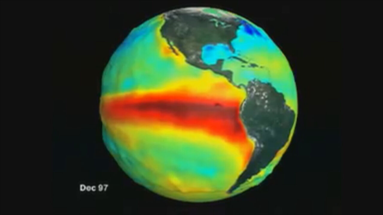
Summary The World Meteorological Organization (WMO) has issued an alarming warning regarding the ongoing El Niño phenomenon, cautioning that it is projected to intensify significantly ahead of its expected peak in December. According to the WMO’s global seasonal climate update, this emerging climate event could rank as one of the strongest El Niño occurrences recorded since 1950, threatening to disrupt global weather systems with unprecedented severity.
El Niño is a naturally occurring climate pattern characterized by the warming of sea surface temperatures in the central and eastern equatorial Pacific Ocean. Typically emerging every two to seven years and lasting roughly 9 to 12 months, the phenomenon alters atmospheric pressure, wind, and precipitation patterns across the globe. However, meteorological experts emphasize that this natural cycle is now colliding with the compounding effects of human-induced global warming. Rather than merely adding fresh heat, El Niño acts as an engine that discharges immense thermal energy previously absorbed and stored by oceans. Because global ocean temperatures have reached record highs in recent measurements, the pool of thermal energy ready to be released into the atmosphere is greater than ever before.
Meteorologists evaluate the event's intensity using the Niño 3.4 index, which tracks sea surface temperature anomalies in a designated equatorial Pacific corridor against historical averages (1993–2009). The anomaly climbed from +1.6°C in June to +2.5°C in August, with projections indicating it could reach an extraordinary seasonal average of +3.7°C between October and December. Should these forecasts materialize, this event will easily surpass the previous record of +2.6°C set between November 2015 and January 2016, making it the strongest El Niño in recorded history.
While El Niño events typically reach peak intensity between November and February, their broader climatic ripple effects—including sharp spikes in worldwide average temperatures, severe droughts, and intense regional flooding—often materialize on a delayed timeline. The WMO estimates the probability of this episode persisting through February at nearly 100%. Major impacts are already emerging in parts of the world, including Central America, where parching droughts have decimated livestock and agricultural yields. As climate authorities monitor the Pacific closely, the coming winter is expected to test agricultural systems and disaster preparedness worldwide.
Sponsored · Ad